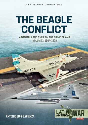
The Beagle conflict: Argentina and Chile on the Brink of War in 1978 volume 1: 1904-1978
Product code 9781804513736
Series Latin America @ War 36
Publisher/Brand Helion & Company
Author Antonio Luis Sapienza Fracchia
Format 297mm x 210mm
No. Pages 108
Version Soft cover
Language English
Category Aviationbooks
Subcategory World Wars Books » Latin America War
Availability only 2 remaining
This product was added to our database on Thursday 9 November 2023.
Your reliable Aviation Book Source since 1989
Also in this series:


The Beagle conflict was a territorial dispute between Argentina and Chile over the determination of the layout of the eastern mouth of the Beagle Channel, which affected the sovereignty of the islands located south of the channel, and east of Cape Horn and its adjacent maritime spaces.
The first antecedents of the confl ict date back to 1888, seven years after the signing of the Treaty of Limits. In 1901, the first Argentine map appeared in which some of the islands in question were drawn as within Argentina's control. Despite the small size of the islands, their strategic value between the Atlantic and Pacific oceans caused a long conflict between the two South American states that went on for much of the 20th century, causing a number of 'minor' incidents, and almost culminating in a major war.
The conflict focused on the dispute over the sovereignty of the islands and the oceanic rights generated by them to Chile, but it was not limited exclusively to these islands.
Volume 1 of The Beagle Conflict mini-series covers the origins of the dispute and border clashes between the two countries from the time of the independence of Chile and Argentina from the Spanish Crown, until early 1978, and is illustrated with original photographs, custom-drawn artworks and maps.
Images : 264 b/w photos, 12 maps, 17 colour profiles, 48 tables